Dates
Jan 18, 2026
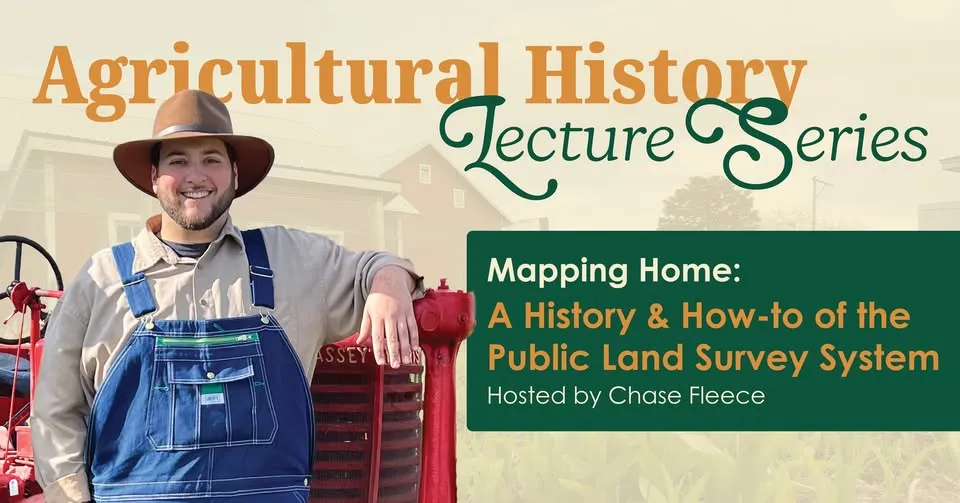
Description
In 1785, the federal government initiated a new standardized system for the dividing of land in the expanding western territories. Known as the Public Land Survey System (PLSS), surveyors measured and marked millions of acres for commercial sales.
Join us to learn more about the system and how to read, interpret and visualize the original surveyors' notes.
For more information call (419) 353-1897 Ext. 400.
Address
18331 Carter Rd
Bowling Green,
OH 43402